Naked Odyssey 2023
Inspired by participation in nude outdoor photo shoots for Spencer Tunick, Matt Granger and Natansky – some pre-organised, others guerilla-style – I resolved that, from 2016, impromptu naked photography would be a part of all my world travels…
South Africa in January and February
In a global energy price crisis, Esther and I opted to pay for flights to the southern hemisphere rather than sky-high gas bills. Based in the Camps Bay area of Cape Town, South Africa, we spent our three weeks working – me connected to the UK, Esther writing a new script – and resting and, of course, playing.
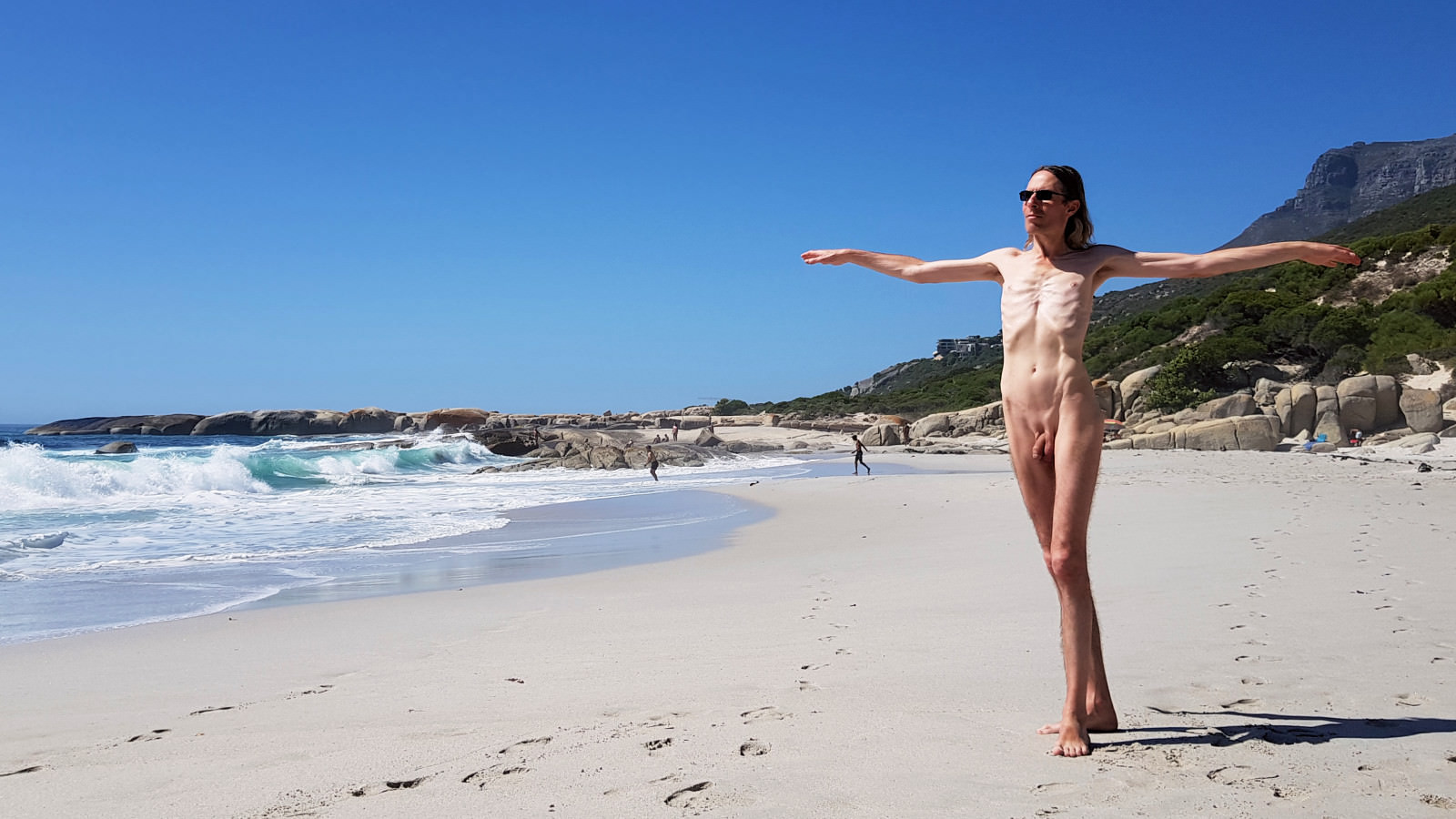
Sandy Bay, north end – location map.

Sandy Bay, south end – location map.

Above Llandudno – location map.
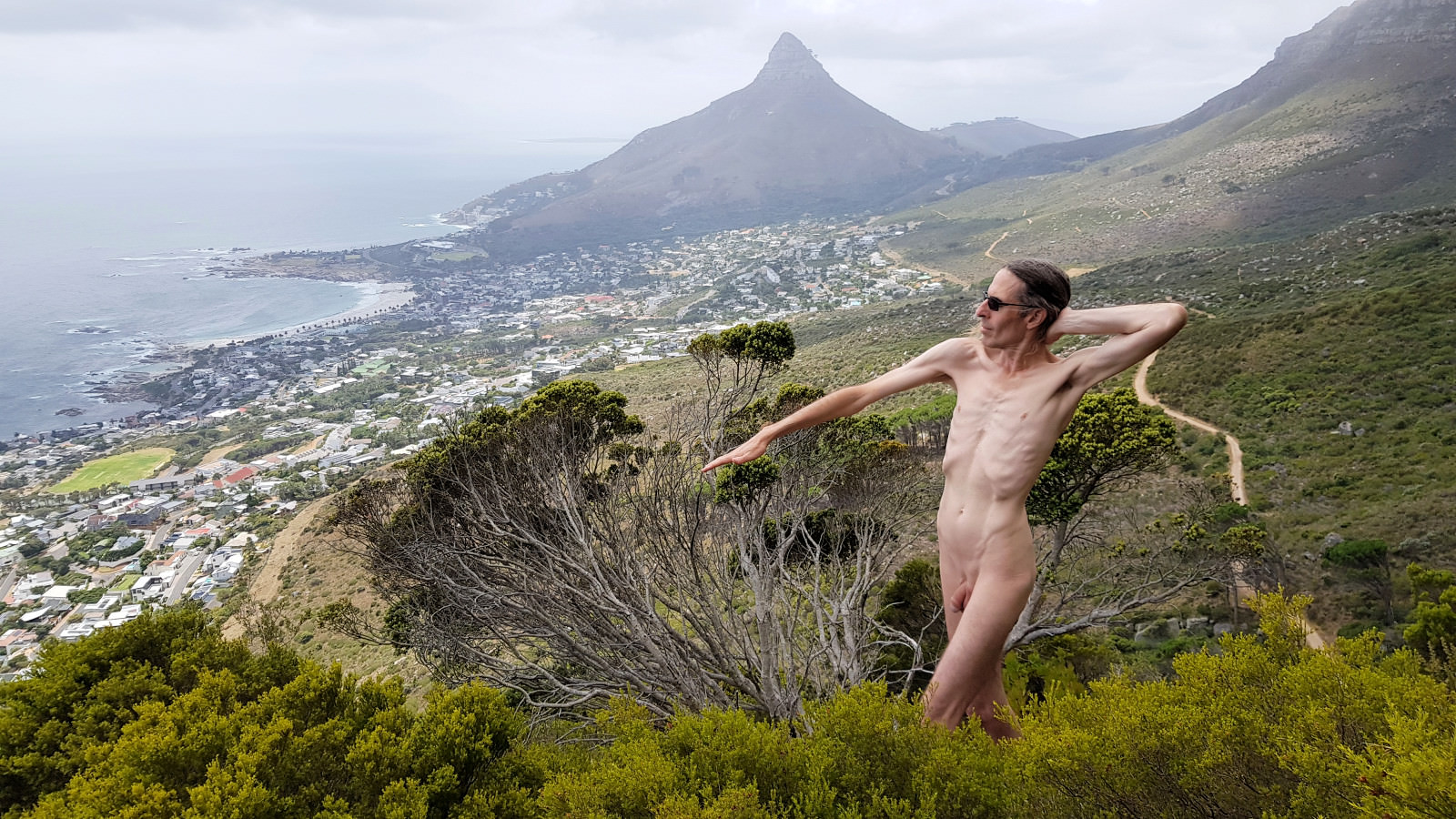
Overlooking Camps Bay – location map.

At Kirstenbosch National Botanical Garden – location map.
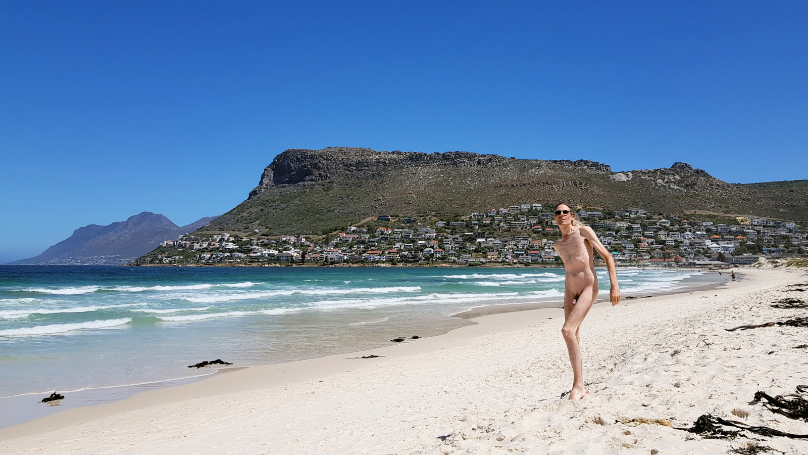
On Fish Hoek beach – location map.
England in March
Back in the UK we travelled up to Wakefield, West Yorkshire for a long weekend at the end of March. The main purpose was fulfilling an ambition to visit Yorkshire Sculpture Park, and also explore The Hepworth Wakefield gallery. At YSP we loved ‘Diana‘ by Lucy+Jorge Orta, but she was just too far-out to be with.
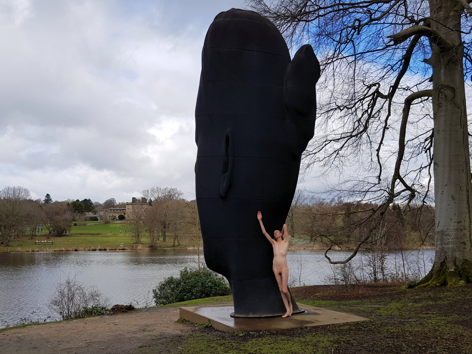
With ‘Wilsis‘ by Jaume Plensa at YSP – location map.

Under Wakefield’s railway viaduct – location map.
Slovakia in May
Twice in bygone years I’d taken day-trips to Bratislava, but this visit to Košice was my first time spending several nights in Slovakia. We wandered the old city, then south to Jazero where Esther went open-water swimming, north to the observation tower, and west to Žehra, Spiš Castle and Spišské Podhradie.
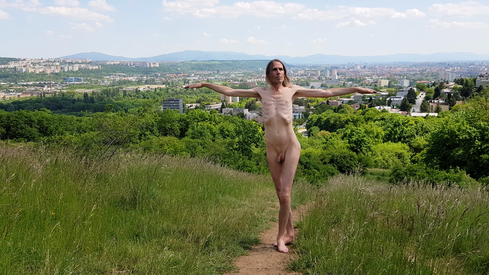
North of Košice – location map.

A handful of Spiš Castle – location map.

Over Spišské Podhradie – location map.
North Macedonia and Albania in July
Two weeks at Ohrid gave Esther and me good time to connect with ancient, spiritual, pristine Lake Ohrid. We hiked its hillsides or swam from its shores at Ramne, Gorno Konjsko, Sveti Stefan, Elšani, Peštani, Trpejca, St Naum, Radožda, Kališta, Struga (North Macedonia), Pogradec and Lin (Albania).
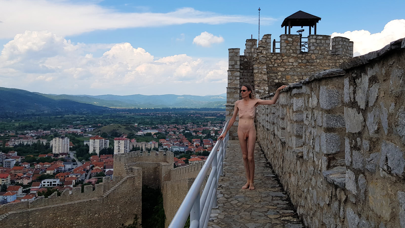
On Samuel’s Fortress, Ohrid – location map.
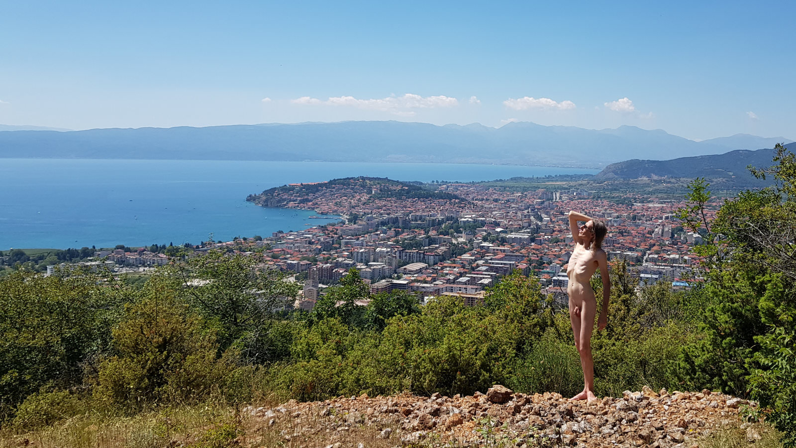
Overlooking Ohrid, near Ramne – location map.
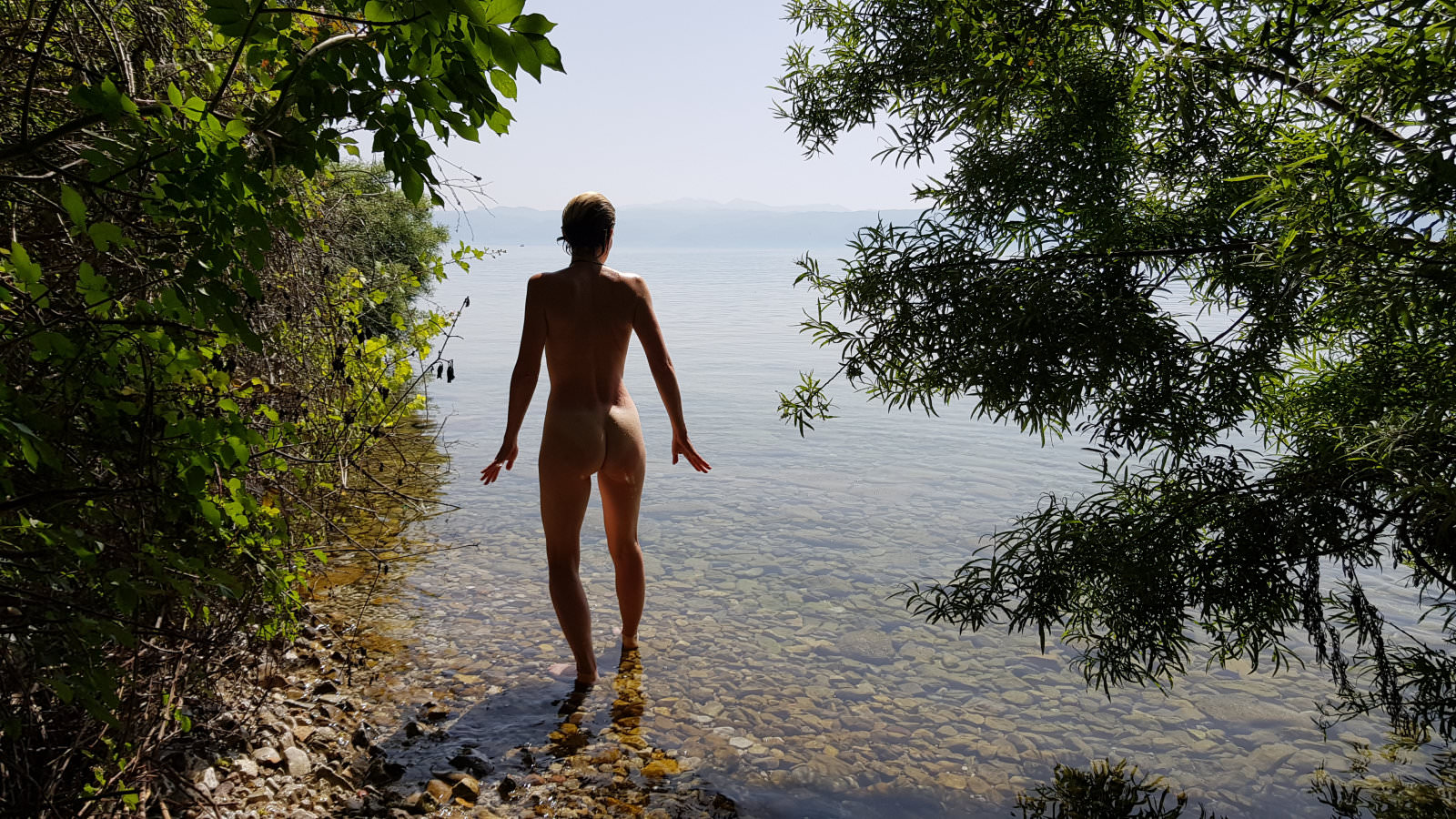
South of Peštani – location map.
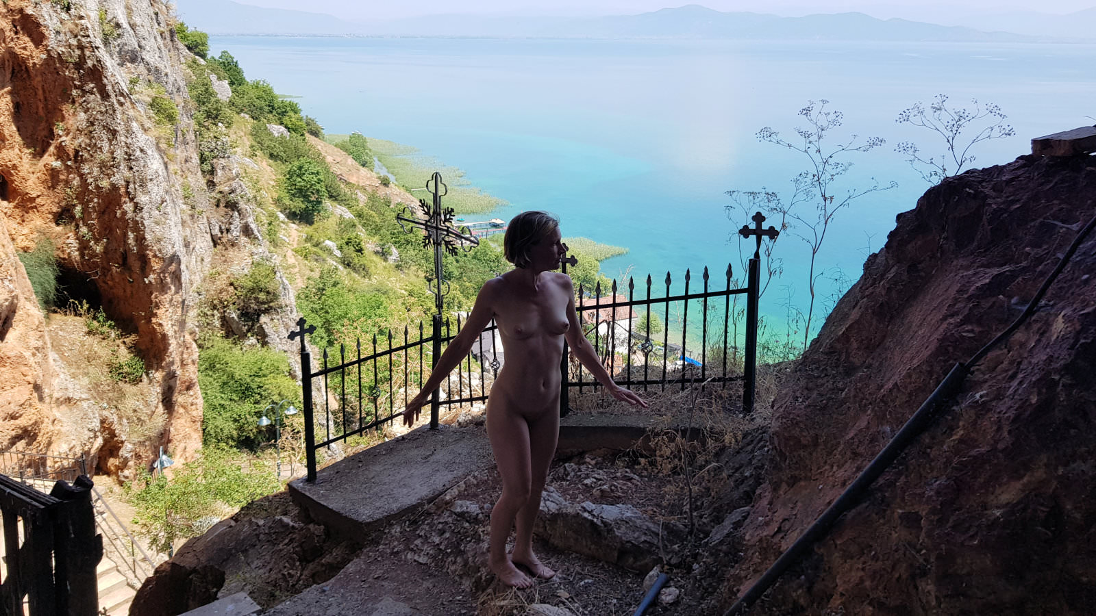
At Church Saint Archangel Michael, Radožda – location map.
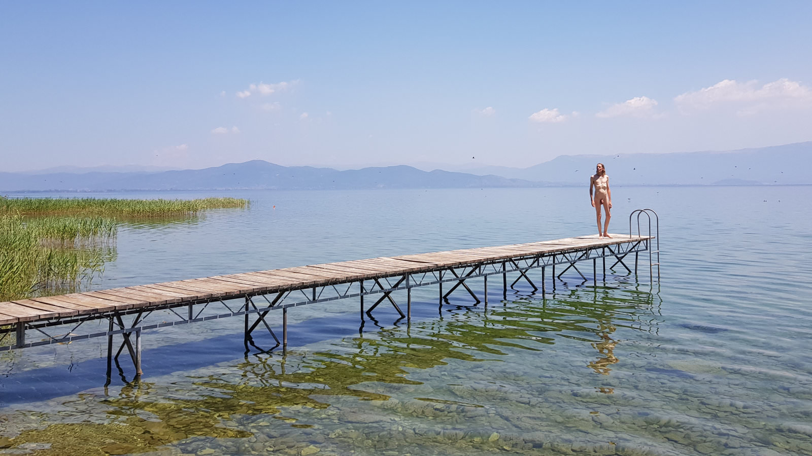
Lake Ohrid, north of Radožda – location map.

At Gorno Konjsko – location map.
Poland in September
We returned to central Europe in September for a short break in central Poland. The city of Łódź is one of this country’s less celebrated destinations, but we very much appreciated its easy-going renovated charms and plentiful unfussy pockets of green space. Here we were not tourists, we were happy wanderers.
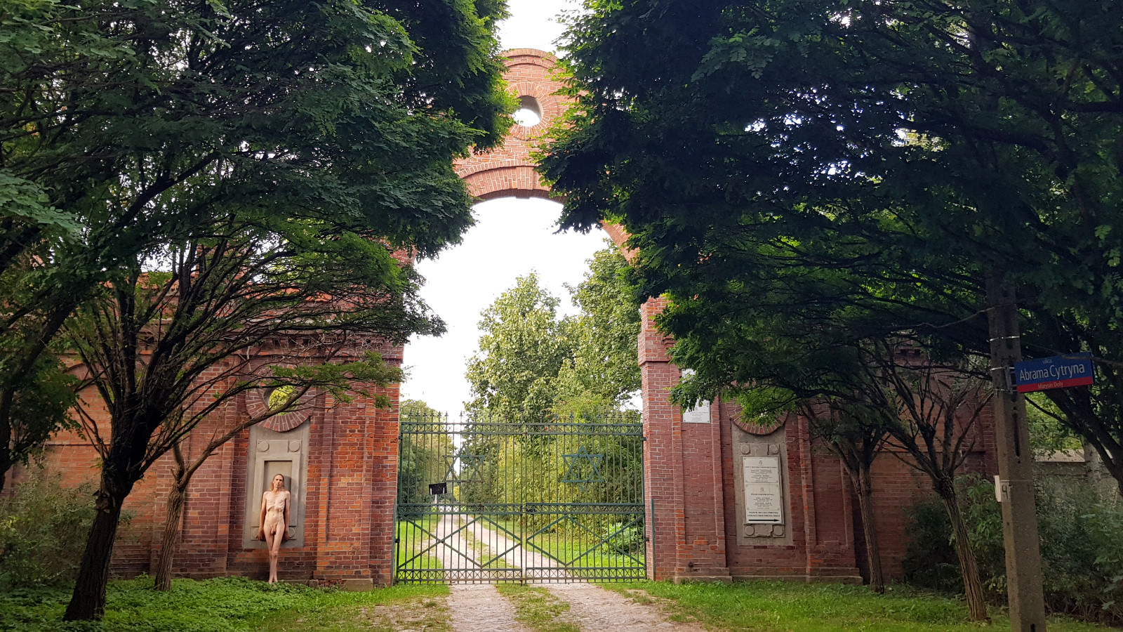
Jewish cemetery in Łódź – location map.
Malta in November
With terrorism and war crimes killing hundreds of Israelis and thousands of Palestinians in the Holy Land, it was barely an atom of incomparable consequence that easyJet cancelled our flights to conflict-free Jordan. So Esther and I went to Malta with Air Malta and took ferries to Comino and Gozo.

Between Ġnejna Bay and Qarraba Bay, Malta – location map.
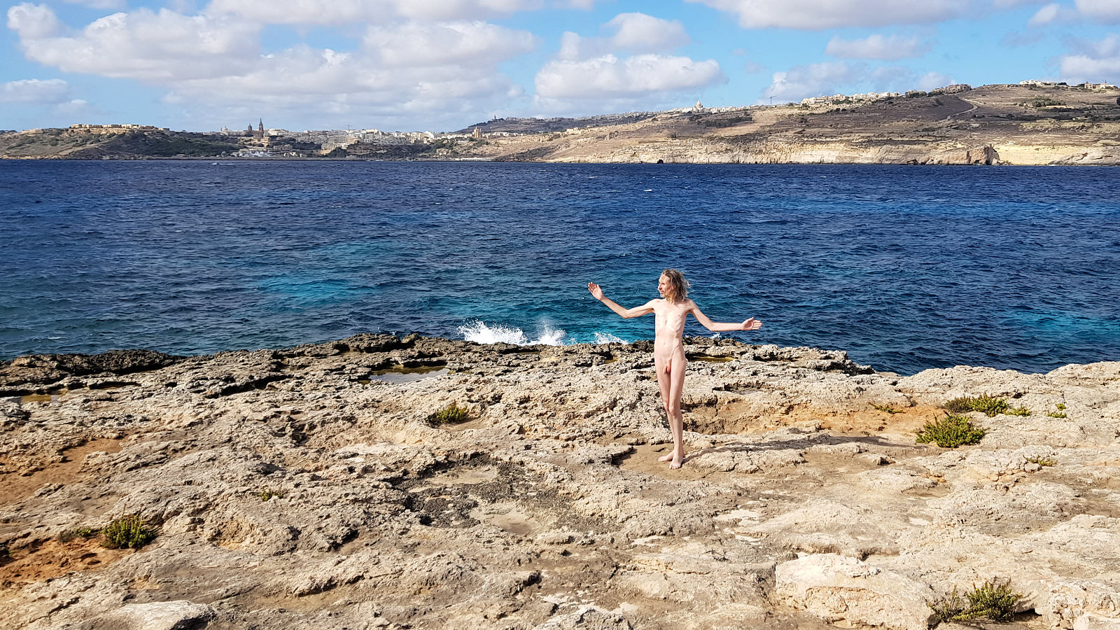
On L-Imriek, Comino – location map.

Borġ In-Nadur at Il-Qajjenza, Malta – location map.

Abandoned Ulysses Lodge roof, Ramla, Gozo – location map.

Munxar path south of Marsaskala, Malta – location map.

On Manoel Island, with Valletta skyline – location map.

